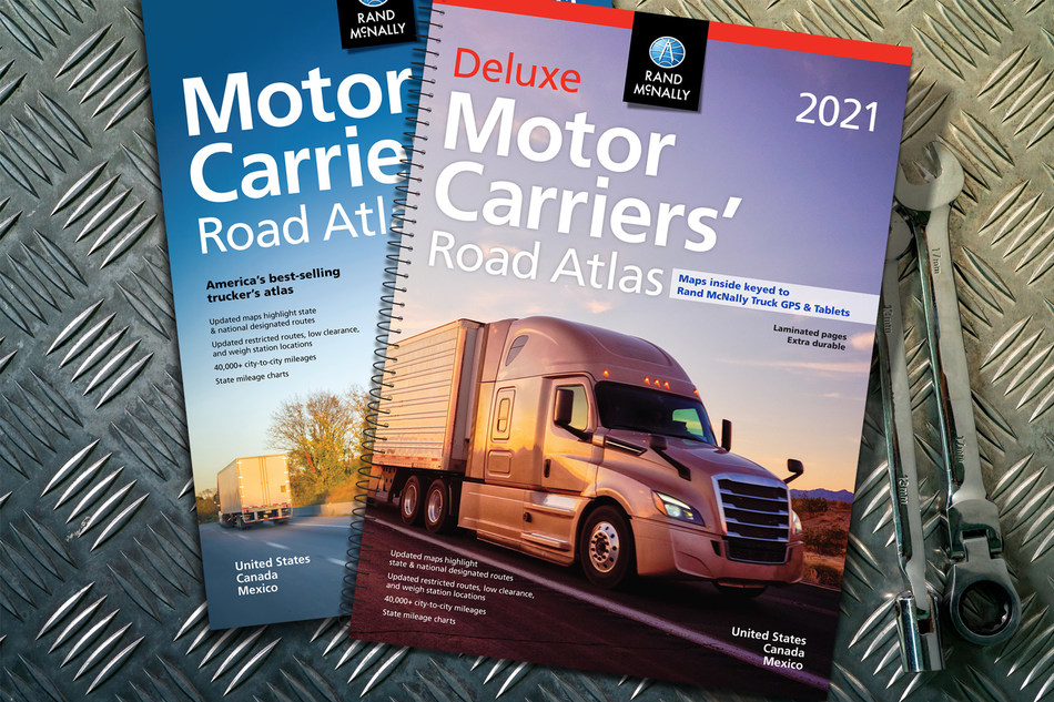
Rand McNally today shipped out the new annual edition of its Motor Carriers’ Road Atlas, marking the 40th anniversary of the best-selling atlas for professional drivers. The atlases are landing in travel centers, in bookstores, on e-commerce stores, and at https://store.randmcnally.com
The 2021 edition of the atlas – featuring fully updated truck-accessible roads, state trucking regulations, and fuel tax charts – is available in paperback as well as a version with laminated pages and a stay-flat spiral binding.

The new edition includes thousands of updates to the maps as well as revised regulatory and state/province information. This year, the atlases include:
- Updated U.S. state and Canadian province maps, including the renaming of a section of Interstate 680 to Interstate 880 in western Iowa, adding Loop 202 around Phoenix, and updated interstates in Rhode Island with mileage-based exit numbers;
- Revised restricted routes, low-clearance, and weigh station locations;
- A 22-page mileage directory that includes more than 40,000 truck-route-specific, city-to-city mileages;
- An updated fuel tax chart as well as revised state and province information including weight and size limitations, registration guidelines, and phone numbers and websites for state police and operating authorities;
- Hotlines for road construction and conditions;
- Updated toll system contact information for each state;
- And, an updated review of Hazardous Materials (Hazmat) regulations.
To learn more about these books, as well as a large print edition with maps that are 37% larger, please go to www.randmcnally.com/motor-carriers-road-atlas

